Inundation Mapping - Hawaii Data Assessment
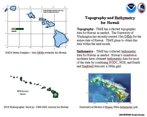
Topography - Topographic data has been collected for Hawaii as needed. The University of Washington has recently made available 10m DEMs (digital elevation maps) for the entire state of Hawaii.
Bathymetry - Bathymetric data has been collected for Hawaii as needed. Hawaii's inundation modelers from the University of Hawaii at Manoa have obtained bathymetric data for most of the state by combining NGDC, NOS, and Smith and Sandwell data into a 300m grid.