Inundation Mapping - California Data Assessment
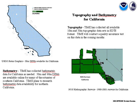
Topography - All available 10m and 30m topographic data sets in SDTS format have been collected, and quality assurance testing is in progress.
Bathymetry - Bathymetric data has been collected for California as needed. 30m and 90m DEMs (digital elevation maps) are available online for many of the estuaries of southern California. Bathymetric data availability for northern California will be researched.