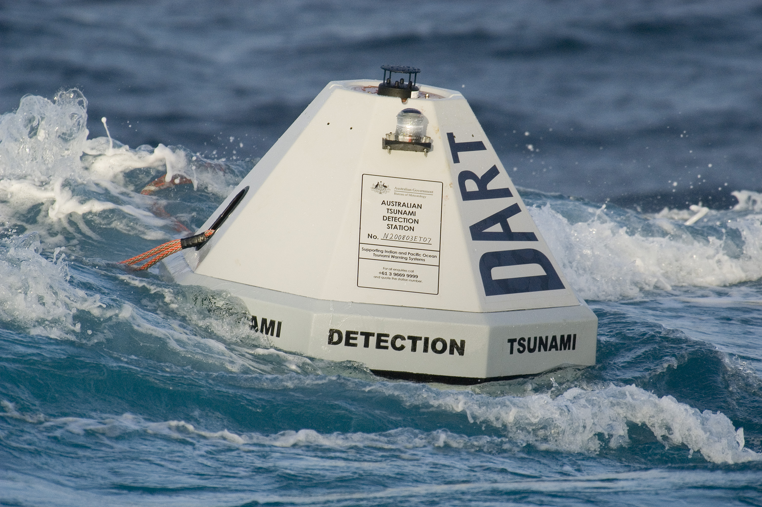
skip to Main Content
National Oceanic and Atmospheric Administration Pacific Marine Environmental Laboratory
NOAA Center for Tsunami Research NOAA

DARTDART® (Deep-ocean Assessment and Reporting of Tsunamis)

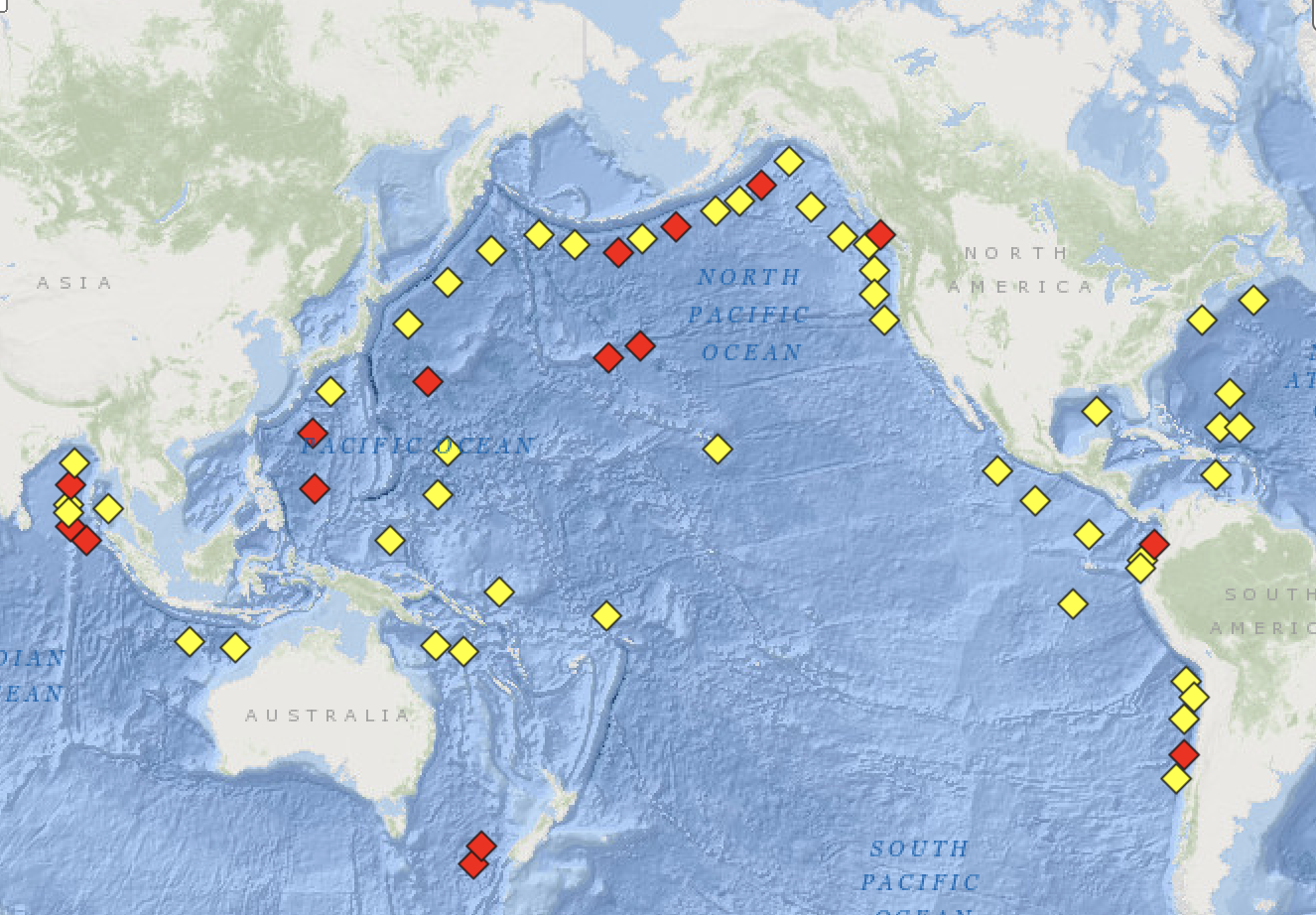
DART® real-time tsunami monitoring systems, developed by PMEL, are positioned at strategic locations throughout the ocean and play a critical role in tsunami forecasting.
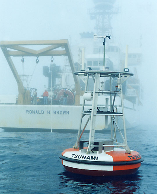
DART® Patent Licensing Application form (PDF format) and Instructions (Word format)

Photo of deployed DART buoy

Map showing DART buoy locations

(Above) The current deployed DART location (from NDBC) are shown on a map.
These can also be viewed with an interactive map (from NGDC).

(Left) The first operational DART® buoy system design is shown in the photograph on the left.


More information about DART®  
Home | Tsunami Forecasting | Hazard Assessment | Research | DART | Events | Info
NOAA   NOAA Center for Tsunami Research   JISAO
US Department of Commerce | NOAA | OAR | PMEL
7600 Sand Point Way NE
Seattle, WA 98115
Contact Us
About | Privacy Policy | Disclaimer