Not an official forecast
Simulated Cascadia Tsunami Event
Simulated Sea Level Plots
Cascadia Simulated Event Page | Simulated Sea Level Plots
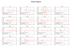
Model Data at Pacific, Deep Water, DART Buoy and Coastal Tide Gauge Locations:
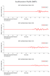
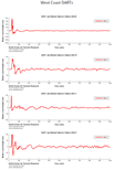
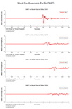
Model results at tsunameter/DART locations, for a hypothetical Cascadia tsunami, generated by a Mw 9.0 earthquake source.
Model data at DART® locations
| Alaska-Gulf of Alaska | Aleutians | Kuril | Southeastern Pacific | |||
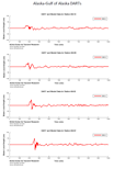 |
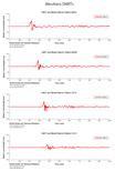 |
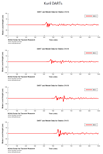 |
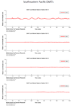 |
|||
| Southwestern Pacific | West Coast | West-Southwestern Pacific | ||||
 |
 |
 |
||||
Model data at Tide Gauge locations
| Alaska Region | Hawaii and Pacific Islands | West Coast Region | ||
 |
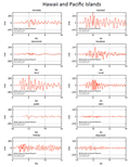 |
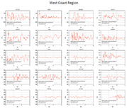 |
Source: L1 (Witter et al. 2011)
Disclaimer: The model simulations on these pages show the results of ongoing research to enhance tsunami science and to improve NOAA operational tsunami forecasts. These products are intended for research use and are not an official forecast. They should not be used as the basis of any public or private policy decisions.
For media inquiries:
When using information from this page, please credit NOAA / PMEL / Center for Tsunami Research
