Inundation Mapping - Washington Data Assessment
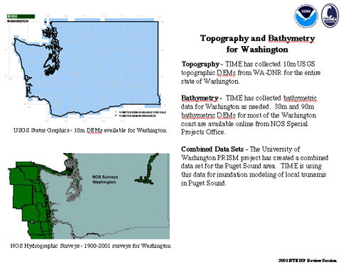
Topography - The NCTR has collected 10m USGS topographic DEMs for the entire state of Washington.
Bathymetry - The NCTR has collected bathymetric data for Washington as needed. 30m and 90m bathymetric DEMs for most of the Washington coast are available online from NOS Special Projects Office.
Combined Data Sets - The University of Washington PRISM project has created a combined data set for the Puget Sound area. TIME is using this data for inundation modeling of local tsunamis in Puget Sound.