Inundation Mapping - Alaska Data Assessment
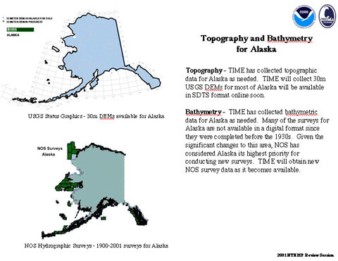
Topography - Topographic data has been collected for Alaska as needed. Thirty meter USGS DEMs (digital elevation maps) for most of Alaska will be available in SDTS format online soon.
Bathymetry - Bathymetric data has been collected for Alaska as needed. Many of the surveys for Alaska are not available in a digital format since they were completed before the 1930s. Given the significant changes to this area, NOS has considered Alaska its highest priority for conducting new surveys. New NOS survey data will be collected as it becomes available.