Not an official forecast
Chile Tsunami, November 11, 2015
DART4G Diagnostics
Event: Illapel, Chile Mw: 6.9
Date: 11 Nov 2015 Lat: 29.4395°S
Time: 01:54 UTC Lon: 72.1050°W
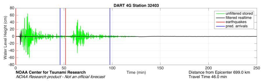
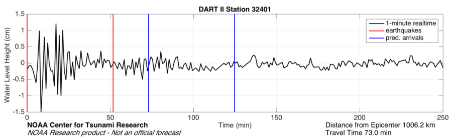
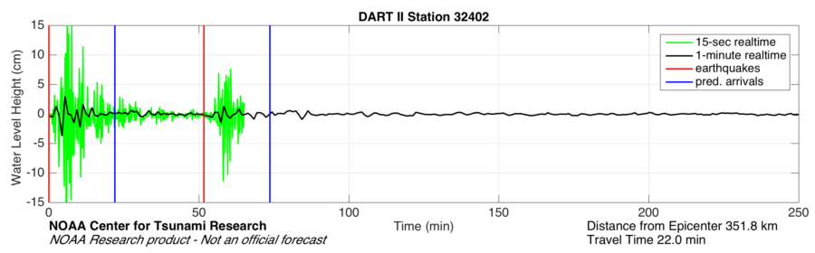
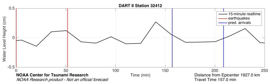
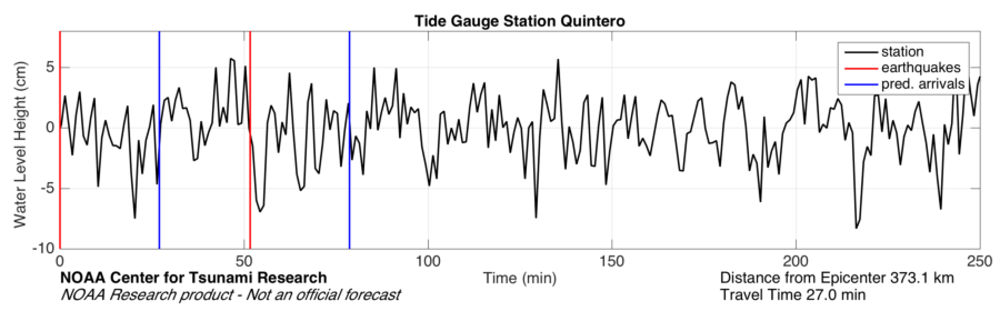
A small Mw 6.9 earthquake occurred off of Illapel, Chile possibly generating a small tsunami enabling scientists at the Pacific Marine Environmental Laboratory to run diagnostics on DART 4G buoys deployed in the region. The following images and time series are for diagnostic purposes only The epicenter (black star, right) is within the NCTR propagation database. This allows a comparison between pre-run models and DART data at nearly DART buoy locations. Four buoys fall within 1.5 hour travel time of the epicenter, numbered 32401, 32402, 32403, and 34420, the latter two are both DART 4G buoys, while the other two are older DART II buoys. The comparison with pre-run models allows us to determine the approximate wave arrival time to look for a tsunami signal in the buoy data. In the following time series plots, the wave arrival time is shown as a blue vertical line, while data are plotted in red. DART 4G buoys 32403 and 34420 triggered off the earthquake and went thru their expected tsunami mode, reporting 15 second data, until normal mode was resumed. A 2nd earthquake is visible on 32403, approximately 60 minutes after the initial one and no tsunamis are evident. For comparison purposes, 250 minutes of unfiltered 15 second data data was downloaded from 32403. DART 4G data will be shown below, followed by DART II data for comparison, and finally, coastal tide gauge station data will be plotted. |
 |
|
| Maximum wave amplitude and arrival time for Illapel, Chile tsunami on November 11, 2015 |
DART 4G data:

DART II Data
Coastal Tide Gauges


Disclaimer: The forecasts on these pages show the results of ongoing research to enhance tsunami science and to improve NOAA operational tsunami forecasts. These products were developed during or shortly after the tsunami event, are intended for research use, and are not an official forecast. They should not be used as the basis of any public or private policy decisions. Please contact NCTR to find if there are more detailed follow-on analysis results.
For media inquiries:
When using information from this page, please credit NOAA / PMEL / Center for Tsunami Research